Manuport Studies 1-4
2016
Near Lindeman Lake, documenting an historic tent ring site developed into the following "studies." During settlement of Lindeman Lake by the Gold Rushers, wall tents were supported with piled rocks along the sides. With the tents long gone, the square foundations of stones remain; the area around Lindeman has "neighborhoods" of such rock rings. This particular site included a ring as well as a can scatter and intersecting trail. The study plays with mapping techniques utilized in field work, then with artistically altering the mapped elements into more abstracted compositions. In archaeology, a manuport is "a natural object, especially a stone, that has been carried and deposited somewhere by humans but has not been artificially shaped."
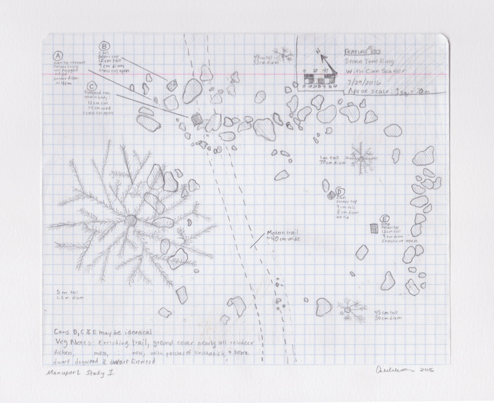
Manuport Study 1 is a straightforward "field map" of the site. Elements are depicted in a realistic style and labeled, to scale, in relation to one another.
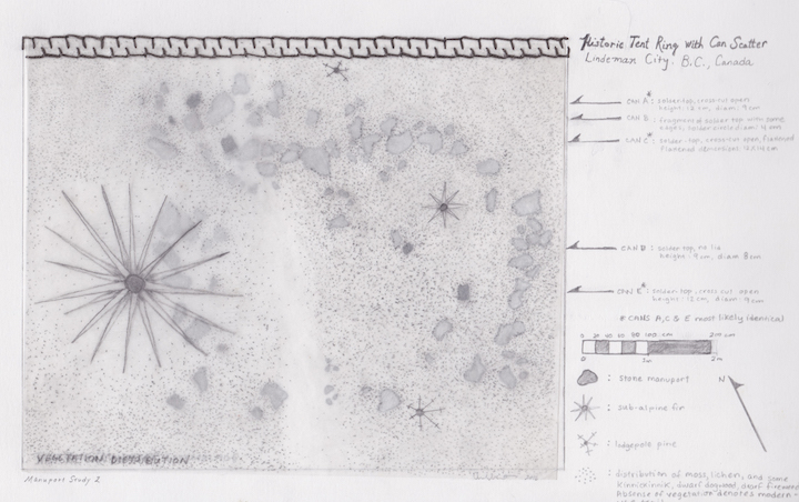
Manuport Study 2 separates the stone tent ring, cans, and vegetation onto three separate semi-transparent sheets. Elements are also stylized more abstractly to create a different, more graphic, visual impression. Elements are still labeled to the side and the map is accurately scaled. The layers can be lifted to be seen individually.
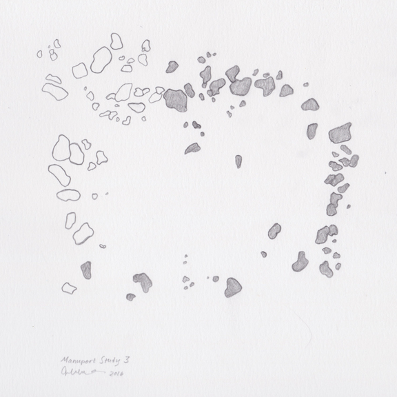
Manuport Study 3 consists of the stones, still in scale, but isolated from their environmental context. Separated and unlabeled, the imression becomes abstracted, stones are just shapes and the composition is no longer an obvious map.
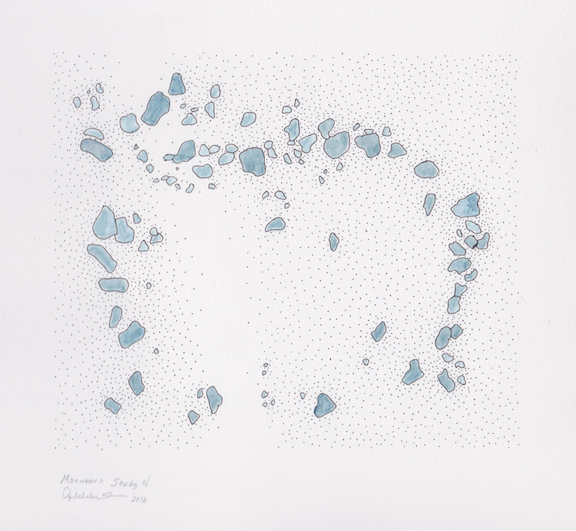
Manuport Study 4 builds on Study 3, adding elements of color to the rocks and stippling to depict vegetation density. Although based on a mapped place the overall impression is abstracted.


