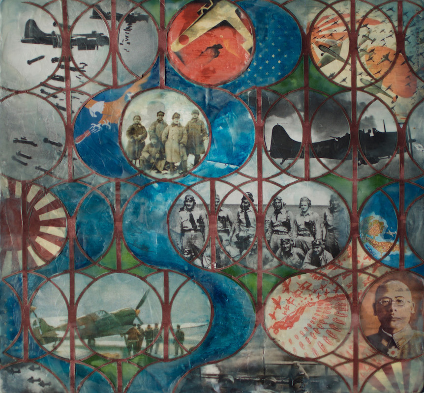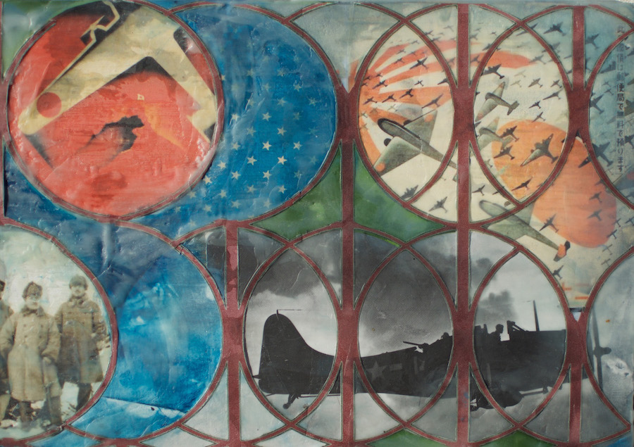
Fight in a Fog
Encaustic Collage, 2018
Imagery of Japanese and US military personnel on the Aleutian front, US and Japanese propaganda, wax, on wood
20" x 19" x 1"
As of 1943, the Aleutian Islands had yet to be mapped in detail. US pilots were forced to use Rand McNally road maps and grossly inaccurate naval charts based on an 1864 Russian survey.
Exacerbating the challenge, Aleutian weather catalyzed the most severe and life-threatening challenges. The clash between warmer Japanese currents from the Pacific, and cold Siberian air and Bering Sea currents from the north, create some of the world’s most violent weather patterns year-round. Due to perpetual fog, visibility was measured in feet, not miles. Far more pilots crashed as a result of weather than combat.
“…planes had to make their way…through steel-colored fog and icy rain that fell sideways and sometimes upside-down, driven by freak gale-force air currents called ‘williwaws’ that swept through and around the volcanic gorges of the Aleutian Islands. Thick damp air plugged up carburetors; ice coated wings; engines became so sluggish…. Williwaw sucked planes out of their revetments and blew them away or flipped them over.”
-Brian Garfield, author of The Thousand Mile War
